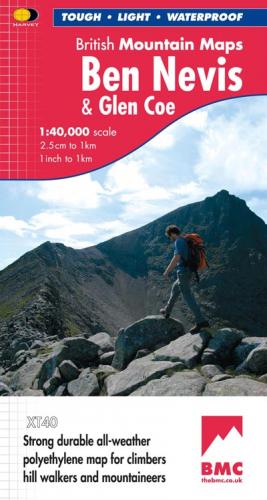
BMC British Mountain Maps 1:40000
 In 2005 the British Mountaineering Council (BMC) got together with Harvey Maps to produce a map of the Lake District. The most popular mapping used by walkers is the Ordenance survey (OS) 1:25000 but if you are walking in the central lakes you may need 4 different maps to cover the area of a long walk. The 1:40000 scale and centering the map on the middle of the lakes meant that you could do most walking in the lakes with a single map.
There are now at least 15 'British mountain maps' in the series of popular walking areas in the British Isles.
These maps have some great features over OS maps
They are printed on waterproof paper so they are light and will fold up and fit in a small pocket (no map case required).
They are designed for walkers and climbers so they have less info that you don't need on them.
They have shading at different heights to help show the shape of the land.
Their contours are at 15 m intervals (rather than 10m) I don't actually like this as it makes the maths harder but it makes the hills clearer. They also throw in broken contour lines to show the shape of the land even where the hill top doesn't make the next 15m.
They show rock climbing venues.
They print lots of useful infomation on the back
They cover walking areas in a sensible way rather than requiring lots of maps
They show field boundries.
Ordinance Survey 1:25000
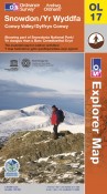 These are the most popular maps for walkers in the UK. They cover the whole country and are known as Explorer maps. The more popular walking areas are available in laminated waterproof versions that you can write on and wipe off (or clean off with meths if you use permenant marker)
These maps show areas of access land where you have the 'right to roam' as well as all the different sorts of footpaths and bridal ways.
The contours are usually at 10m intervals but in some areas (flatter area's maybe) they are at 5m intervals so make sure you check.
These maps have a lot of detail so are ideal to learn with as there are plenty of tick features to choose from.
Ordinance Survey 1:50000
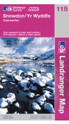 These are known as landranger maps. Again many areas can be bought laminated (active maps). They don't have anything like the detail of the 1:25000, they don't show field boundaries for example. However, this means they have a much less 'cluttered' feel. They are a popular map for navigating in Scotland in winter, this is because there is so little clutter that the contour lines really show through giving a great feel for the shape of the land.